Le Maginot Trail 2026
VAS, Június 14, 2026
·
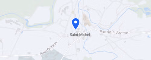
Saint-Michel
, Franciaország
Távok
12 km
24 km
32 km
Versenyről
The Maginot Trail is a trail running event in Saint-Michel, Hauts-de-France, featuring routes of 12 km, 24 km, and 32 km that begin at the municipal stadium. The elevations are set at 237 meters for the 12 km, 588 meters for the 24 km, and 704 meters for the 32 km, allowing participants to select a shorter hilly run or a longer route through forests and historical sites.
The course connects local history with the Thiérache countryside, winding past the 10th-century abbatial site, Maginot Line blockhouses, and the historic Fonderies de Sougland ironworks. Running Trail Thiérache organizes the event, which also includes the Maginot Rando, a guided Maginot Line walk, a children's race, gifts for the first 300 registrants, a tombola, and on-site showers, food, and drinks.
 © Mapbox · © OpenStreetMap
Saint-Michel
Saint-Michel